
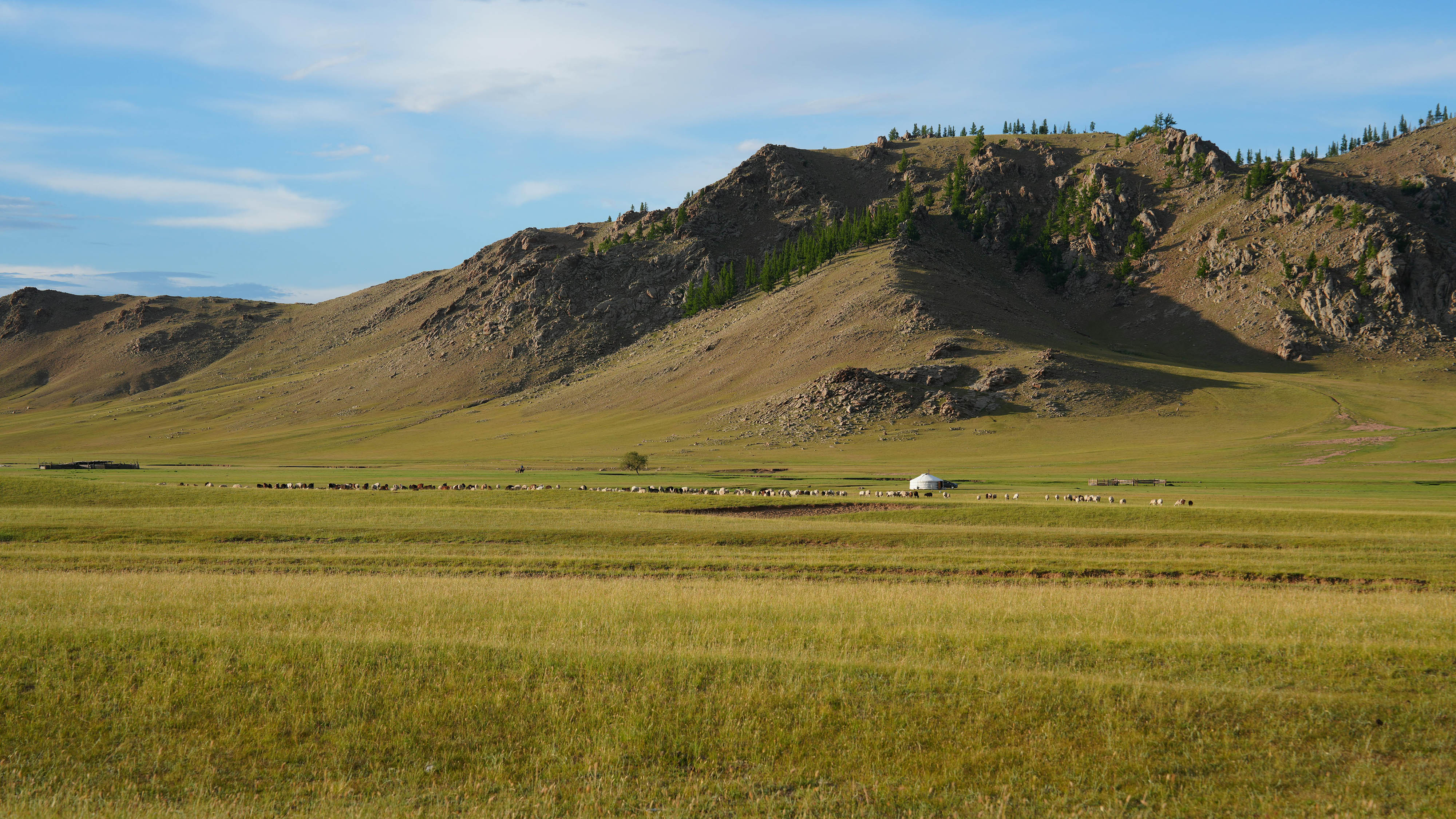
About Mongolia
Mongolia is truly one of the world's last undiscovered travel destinations and the safest country to visit.
Mongolia is a landlocked country in East-Central Asia, bordered by Russia to the north (a 3,485 km border) and China to the south, east, and west (a 4,673 km border). Covering about 1.566 million square kilometers, it's the world's largest landlocked country not bordering a landlocked sea, and its territory is larger than Great Britain, Germany, France, and Italy combined. Mongolia sits at an average elevation of 1,580 meters above sea level, and its remote, high-altitude location shapes nearly everything about the country, from its climate to how travelers reach it.
Where Exactly Is Mongolia?
Mongolia sits in East-Central Asia, wedged between Russia to the north and China to the south, east, and west, meaning it has no other land neighbors and no coastline at all. This makes Mongolia the world's largest landlocked country that doesn't border an inland sea like the Caspian, a distinction that shapes both its climate and its logistics for travelers, since every international arrival by land or air passes through Russian or Chinese airspace or territory first.
Ulaanbaatar, the capital, sits at approximately 47.9° N latitude and 106.9° E longitude, in the north-central part of the country.
How Big Is Mongolia?
Mongolia covers roughly 1.566 million square kilometers, making it the 18th largest country in the world by area. For scale, its territory is larger than the combined area of Great Britain, Germany, France, and Italy, despite having a population of under 4 million people, giving it one of the lowest population densities of any country on Earth, roughly 1.6 people per square kilometer.
Despite this enormous size, Mongolia has only two international land neighbors, a rare combination of vast territory and geographic isolation that few other countries share.
Mongolia's Borders
- Russia (north): approximately 3,485 km of border, mostly forested and mountainous terrain
- China (south, east, and west): approximately 4,673 km of border, the longest land border either country shares with a single neighbor
Because Mongolia is entirely enclosed by just these two countries, nearly all overland trade, and a meaningful share of tourism routes, including the Trans-Mongolian Railway, passes directly through Russian or Chinese territory.
Key Geographic Extremes
- Highest point: Khüiten Peak, in the Altai Tavan Bogd massif of the Altai Mountains in western Mongolia, at 4,374 meters above sea level
- Lowest point: Khökh Nuur, in Dornod Province in the far east, at approximately 560 meters above sea level
- Average elevation: around 1,580 meters above sea level, notably high for a country of Mongolia's size
- Largest steppe region: the Menengiin Tal, in eastern and southern Mongolia, covering approximately 250,000 square kilometers
The Altai Mountains, Mongolia's largest range, run through the western part of the country. Within Mongolia specifically, the range stretches roughly 900 km, though the broader Mongol Altai system continues well beyond Mongolia's borders into China, Russia, and Kazakhstan, extending it to nearly 2,000 km in total. For more on the Altai region and its landscape, see our guide: Best Places in Mongolia for Landscape Photography
Time Zones
Mongolia operates on two official time zones:
- UTC+8: covers most of the country, including Ulaanbaatar, and aligns with China Standard Time
- UTC+7: covers the far western provinces of Bayan-Ölgii, Uvs, and Khovd
Mongolia does not observe daylight saving time, having discontinued it in 2016 after several earlier attempts. Travelers moving between central Mongolia and the far west, for example, flying into Ulaanbaatar and then on to Bayan-Ölgii for the Golden Eagle Festival, should account for the one-hour time difference between zones.
Why Mongolia's Location Matters for Travelers
Mongolia's landlocked position between Russia and China shapes travel logistics in a few practical ways:
- Flights typically route through regional hubs. Direct international flights connect Ulaanbaatar with cities in South Korea, Japan, China, and a handful of other hubs, and many travelers connect through Seoul, Beijing, or Moscow.
- Overland routes cross Russia or China. The Trans-Mongolian Railway, one of the most popular ways to reach Mongolia overland, necessarily passes through Chinese or Russian territory, meaning transit visas may apply depending on your route.
- The high average elevation affects climate. Combined with its distance from any ocean, Mongolia's elevation contributes to the extreme seasonal temperature swings the country is known for, hot summers and brutally cold winters.
- Remote regions require real planning. Western Mongolia, in particular, is far from Ulaanbaatar, both in distance and in infrastructure, which is why most visitors fly rather than drive to destinations like Bayan-Ölgii.
Frequently Asked Questions
Is Mongolia part of China or Russia?
No, Mongolia is an independent country, bordered by Russia to the north and China to the south, east, and west, but distinct from both.
How big is Mongolia compared to other countries?
Mongolia is the world's 18th largest country by area, covering about 1.566 million square kilometers, larger than Great Britain, Germany, France, and Italy combined.
Is Mongolia a landlocked country?
Yes, Mongolia has no coastline and is entirely surrounded by Russia and China, making it the world's largest landlocked country that doesn't border an inland sea.
What is the highest point in Mongolia?
Khüiten Peak, in the Altai Tavan Bogd massif of western Mongolia, at 4,374 meters above sea level.
How many time zones does Mongolia have?
Two: UTC+8 for most of the country, including Ulaanbaatar, and UTC+7 for the far western provinces of Bayan-Ölgii, Uvs, and Khovd.
Does Mongolia observe daylight saving time?
No, Mongolia discontinued daylight saving time in 2016 after several earlier attempts dating back to 1983.
How do most travelers reach Mongolia?
Most arrive by air through Ulaanbaatar's international airport, often connecting through Seoul, Beijing, or other regional hubs, or overland via the Trans-Mongolian Railway through Russia or China.
Why does Mongolia have such extreme weather?
Its high average elevation (around 1,580 meters) combined with its landlocked, inland location far from any moderating ocean contributes to sharp seasonal temperature swings across the country.